Location Overview
The OneNZ Mt Maunganui location is 22m high, has 8 licences associated, and is capable* of 2G GSM, 3G UMTS, 4G LTE and 5G.
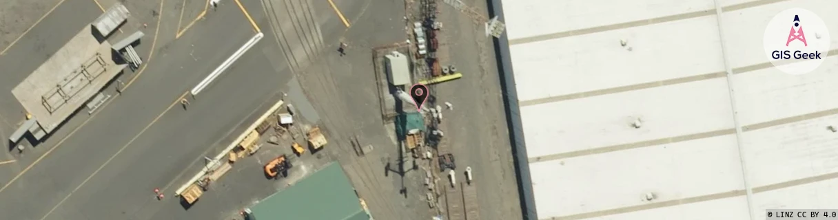
GIS Geek | LINZ | GMaps | Street View
Login required to upload photos or suggest corrections.
Closest Towers
| Provider | Location Name | Distance | Bearing |
|---|---|---|---|
| Spark | Central Mt Maunganui | 241m | 351.04 |
| OneNZ | Cht Healthcare Trust Mt Maunganui VF C5ZAH | 736m | 355.39 |
| 2Degrees | Mt Maunganui | 249m | 1.88 |
| RCG | RBPOHT - Ohauiti | 14.92km | 173.8 |
Licence Details
Close Cell IDs OneNZ MMC: 530 MNC: 1
| Radio | Area | Cell | Distance from tower | Bearing from tower | Samples |
|---|---|---|---|---|---|
| LTE | 42640 | 822018 | 214m | 111.66 | 7 |
| GSM | 236 | 7812 | 394m | 168.81 | 2 |
| UMTS | 1701 | 62362741 | 392m | 337.87 | 2 |
| UMTS | 1705 | 62362741 | 383m | 45.88 | 1 |
| UMTS | 1701 | 62387186 | 359m | 290.92 | 3 |
| GSM | 236 | 7862 | 375m | 60.02 | 2 |
| UMTS | 1705 | 62387188 | 378m | 64.43 | 3 |
| UMTS | 1701 | 62362742 | 424m | 52.17 | 2 |
| UMTS | 1701 | 62387191 | 578m | 329.93 | 2 |
| LTE | 42640 | 822017 | 628m | 346.19 | 10 |
| UMTS | 1705 | 62387187 | 620m | 28.16 | 5 |
| UMTS | 1701 | 62364331 | 540m | 111.21 | 2 |
| UMTS | 1705 | 62362743 | 670m | 175.58 | 3 |
| UMTS | 1701 | 62387187 | 648m | 333.18 | 1 |
| UMTS | 1701 | 62387192 | 581m | 123.05 | 2 |
| UMTS | 1701 | 62387188 | 540m | 89.96 | 4 |