Location Overview
The OneNZ Wallacetown VF S6WCT location is 15m high, has 7 licences associated, and is capable* of 2G GSM, 3G UMTS, 4G LTE and 5G.
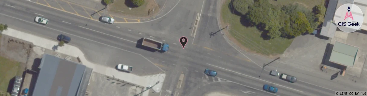
Location has been manually adjusted based on user feedback.
GIS Geek | LINZ | GMaps | Street View
Login required to upload photos or suggest corrections.
Closest Towers
| Provider | Location Name | Distance | Bearing |
|---|---|---|---|
| Spark | Wallacetown | 1.03km | 217.54 |
| OneNZ | Lorneville | 4.43km | 114.52 |
| 2Degrees | Lorneville Rbi | 4.43km | 114.52 |
| RCG | RSLMBB - Mabel Bush | 19.29km | 66.45 |
Licence Details
Close Cell IDs OneNZ MMC: 530 MNC: 1
| Radio | Area | Cell | Distance from tower | Bearing from tower | Samples |
|---|---|---|---|---|---|
| GSM | 29 | 23652 | 1.91km | 160.26 | 1 |
| GSM | 29 | 22423 | 2km | 344.17 | 1 |
| GSM | 29 | 24031 | 2.64km | 134.57 | 6 |
| GSM | 29 | 22421 | 3.58km | 29.46 | 1 |
| UMTS | 1302 | 19782912 | 3.28km | 56.37 | 1 |
| LTE | 45136 | 442884 | 4.5km | 116.38 | 1 |
| LTE | 45136 | 1276422 | 4.2km | 87.56 | 6 |
| UMTS | 1305 | 19761526 | 4.22km | 265.48 | 1 |
| UMTS | 1305 | 19761534 | 5.11km | 52.45 | 1 |
| LTE | 45136 | 356609 | 4.35km | 92.41 | 1 |
| UMTS | 1305 | 19761531 | 4.58km | 90.17 | 1 |
| UMTS | 1305 | 19782906 | 4.87km | 71.74 | 1 |
| LTE | 45136 | 442882 | 4.84km | 106.59 | 1 |
| UMTS | 1305 | 19761841 | 6.35km | 126.08 | 1 |