Location Overview
The Spark Wallacetown location is 24m high, has 4 licences associated, and is capable* of 3G UMTS and 4G LTE.
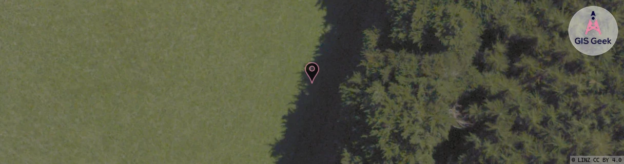
Location has been manually adjusted based on user feedback.
GIS Geek | LINZ | GMaps | Street View
Login required to upload photos or suggest corrections.
Closest Towers
| Provider | Location Name | Distance | Bearing |
|---|---|---|---|
| Spark | Lornville Freezing Works | 2.78km | 113.78 |
| OneNZ | Wallacetown VF S6WCT | 1.03km | 37.54 |
| 2Degrees | Lorneville Rbi | 4.77km | 102.41 |
| RCG | RSLAWN - Awarua North | 19.04km | 158.32 |
Licence Details
Close Cell IDs Spark MMC: 530 MNC: 5
| Radio | Area | Cell | Distance from tower | Bearing from tower | Samples |
|---|---|---|---|---|---|
| UMTS | 23412 | 1559879 | 1.11km | 54.41 | 1 |
| UMTS | 28397 | 1558695 | 3.65km | 307.29 | 2 |
| UMTS | 28397 | 1876749 | 3.13km | 88.96 | 3 |
| UMTS | 28397 | 1560594 | 3.23km | 95.27 | 2 |
| LTE | 28191 | 384387 | 3.55km | 105.07 | 8 |
| UMTS | 28397 | 1878271 | 3.44km | 94.95 | 1 |
| UMTS | 23412 | 1562009 | 4.66km | 127.9 | 1 |
| UMTS | 28397 | 1877559 | 4.11km | 76.5 | 3 |