Location Overview
The 2Degrees Otorohanga location is 18m high, has 5 licences associated, and is capable* of 3G UMTS and 4G LTE.
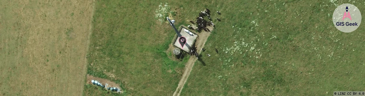
Location Raw Name: (WKT-018-002-D)[OTGA]_OTOROHANGA
GIS Geek | LINZ | GMaps | Street View
Login required to upload photos or suggest corrections.
Closest Towers
| Provider | Location Name | Distance | Bearing |
|---|---|---|---|
| Spark | Otorohanga Town | 0m | 0 |
| OneNZ | Otorohanga Town VF C4OAT | 1.35km | 184.97 |
| 2Degrees | S_Otewa | 10.08km | 123.23 |
| RCG | RWKTRA - Te Rauamoa | 18.72km | 309.8 |
Licence Details
Close Cell IDs 2Degrees MMC: 530 MNC: 24
| Radio | Area | Cell | Distance from tower | Bearing from tower | Samples |
|---|---|---|---|---|---|
| UMTS | 22207 | 1759745 | 1.02km | 158.63 | 1 |
| GSM | 135 | 6361 | 1.34km | 293.44 | 10 |
| LTE | 62207 | 1736706 | 1.78km | 180.41 | 6 |
| LTE | 62207 | 1759745 | 1.8km | 95.91 | 1 |
| UMTS | 22207 | 280702 | 3.07km | 198.86 | 171 |
| LTE | 62207 | 1759749 | 3.01km | 324.47 | 80 |
| UMTS | 22207 | 270702 | 3.15km | 205.96 | 3 |
| GSM | 135 | 4711 | 3.02km | 321.37 | 1 |
| LTE | 62207 | 1759767 | 3.26km | 211.47 | 97 |
| GSM | 207 | 18551 | 2.89km | 97.86 | 1 |