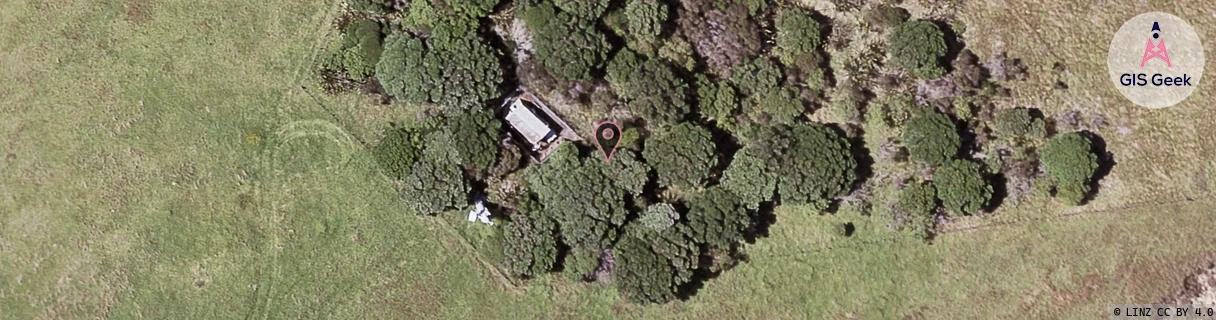
Location Overview
The OneNZ Motutapu Island location is 9m high, has 3 licences associated, and is capable* of 2G GSM, 3G UMTS and 4G LTE.
GIS Geek | LINZ | GMaps | Street View
Login required to upload photos or suggest corrections.
Closest Towers
| Provider | Location Name | Distance | Bearing |
|---|---|---|---|
| Spark | Matiatia | 6.87km | 119.94 |
| OneNZ | Matiatia ONZ A9MAT | 6.73km | 120.54 |
| 2Degrees | S_Motutapu Island | 1m | 6.04 |
| RCG | RAKSSJ - Summerset St John | 15.73km | 210.83 |
Licence Details
Close Cell IDs OneNZ MMC: 530 MNC: 1
| Radio | Area | Cell | Distance from tower | Bearing from tower | Samples |
|---|---|---|---|---|---|
| UMTS | 1911 | 59049012 | 992m | 233.08 | 1 |
| UMTS | 1911 | 62385734 | 1.53km | 329.15 | 2 |
| UMTS | 1913 | 62372126 | 4.34km | 175.8 | 1 |
| UMTS | 41760 | 319238 | 4.41km | 177.5 | 1 |
| UMTS | 1911 | 63638622 | 4.29km | 136.78 | 1 |
| UMTS | 1913 | 62368914 | 4.85km | 190.65 | 1 |