Location Overview
The 2Degrees S_Motutapu Island location is 9m high, has 2 licences associated, and is capable* of 3G UMTS and 4G LTE.
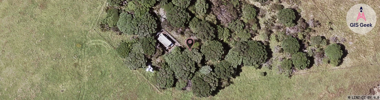
Location Raw Name: (AKL-007-275-A)[VMTI]_S_MOTUTAPU ISLAND
GIS Geek | LINZ | GMaps | Street View
Login required to upload photos or suggest corrections.
Closest Towers
| Provider | Location Name | Distance | Bearing |
|---|---|---|---|
| Spark | Matiatia | 6.87km | 119.95 |
| OneNZ | Motutapu Island | 1m | 186.04 |
| 2Degrees | Matiatia | 6.69km | 120.08 |
| RCG | RAKSSJ - Summerset St John | 15.73km | 210.83 |
Licence Details
Close Cell IDs 2Degrees MMC: 530 MNC: 24
| Radio | Area | Cell | Distance from tower | Bearing from tower | Samples |
|---|---|---|---|---|---|
| UMTS | 10007 | 591131 | 1.38km | 82.03 | 1 |
| UMTS | 10001 | 71699 | 2.7km | 350.59 | 2 |
| UMTS | 10007 | 70633 | 4.06km | 151.84 | 2 |
| UMTS | 10002 | 591532 | 4.16km | 148.32 | 1 |