Location Overview
The 2Degrees Otaki Town location is 15m high, has 5 licences associated, and is capable* of 3G UMTS and 4G LTE.
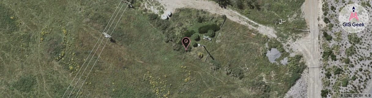
Location Raw Name: (WLG-043-011-A)[OTKT]_OTAKI TOWN
GIS Geek | LINZ | GMaps | Street View
Login required to upload photos or suggest corrections.
Closest Towers
| Provider | Location Name | Distance | Bearing |
|---|---|---|---|
| Spark | Otaki | 1.53km | 240.53 |
| OneNZ | Otaki Town VF W4OIT | 1.56km | 250.59 |
| 2Degrees | Manakau South | 3.14km | 56.63 |
| RCG | RWLHAT - Hautere | 7.92km | 150.16 |
Licence Details
Close Cell IDs 2Degrees MMC: 530 MNC: 24
| Radio | Area | Cell | Distance from tower | Bearing from tower | Samples |
|---|---|---|---|---|---|
| LTE | 62213 | 2743831 | 128m | 102.27 | 2 |
| UMTS | 22213 | 26401662 | 173m | 101.71 | 1 |
| UMTS | 22213 | 1689862 | 332m | 224.64 | 1 |
| UMTS | 22213 | 1689858 | 454m | 127.74 | 1 |
| LTE | 62213 | 2743810 | 503m | 38.26 | 3 |
| UMTS | 22213 | 348818 | 541m | 85.48 | 5 |
| UMTS | 22213 | 368813 | 677m | 149.94 | 7 |
| GSM | 815 | 16372 | 653m | 44.86 | 28 |
| GSM | 213 | 21135 | 732m | 221.96 | 3 |
| LTE | 62213 | 1689860 | 767m | 211.82 | 12 |