Location Overview
The OneNZ Otaki Town VF W4OIT location is 20m high, has 8 licences associated, and is capable* of 2G GSM, 3G UMTS, 4G LTE and 5G.
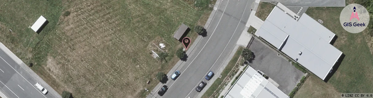
GIS Geek | LINZ | GMaps | Street View
Login required to upload photos or suggest corrections.
Closest Towers
| Provider | Location Name | Distance | Bearing |
|---|---|---|---|
| Spark | Otaki | 272m | 149.3 |
| OneNZ | Otaki Seaside VF W4OKS | 3.32km | 320.42 |
| 2Degrees | Otaki Town | 1.56km | 70.6 |
| RCG | RWLHAT - Hautere | 8.34km | 139.6 |
Licence Details
Close Cell IDs OneNZ MMC: 530 MNC: 1
| Radio | Area | Cell | Distance from tower | Bearing from tower | Samples |
|---|---|---|---|---|---|
| UMTS | 1605 | 949253 | 631m | 58.66 | 2 |
| GSM | 815 | 11582 | 977m | 111.61 | 618 |
| LTE | 43088 | 949253 | 1.01km | 88.22 | 9 |
| LTE | 43088 | 1351959 | 1.05km | 100.09 | 50 |
| LTE | 43088 | 1529346 | 1.14km | 94.93 | 7 |
| UMTS | 1605 | 949250 | 1.18km | 83.82 | 1 |
| UMTS | 1605 | 26401662 | 1.25km | 81.58 | 23 |
| LTE | 43088 | 1351683 | 1.28km | 82.98 | 32 |
| GSM | 815 | 16372 | 1.34km | 82.55 | 6583 |
| UMTS | 1605 | 26401927 | 1.39km | 107.28 | 11 |
| UMTS | 1605 | 26401669 | 1.4km | 77.83 | 24 |
| GSM | 815 | 11583 | 1.44km | 80.18 | 2 |
| GSM | 815 | 16373 | 1.47km | 77.71 | 14054 |
| UMTS | 1402 | 26401669 | 2.22km | 190.76 | 6 |
| LTE | 43296 | 1349121 | 2.29km | 192.88 | 51 |
| LTE | 43296 | 1349161 | 2.75km | 197.65 | 50 |