Location Overview
The 2Degrees Tidal Road location is 24m high, has 6 licences associated, and is capable* of 3G UMTS, 4G LTE and 5G.
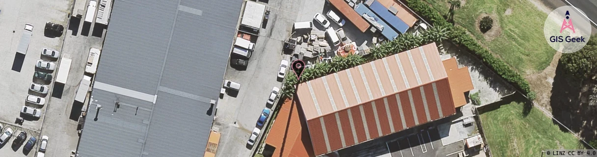
Location Raw Name: (AKL-008-061-D)[TIRD]_TIDAL ROAD
GIS Geek | LINZ | GMaps | Street View
Login required to upload photos or suggest corrections.
Closest Towers
| Provider | Location Name | Distance | Bearing |
|---|---|---|---|
| Spark | Mangere East | 132m | 316.25 |
| OneNZ | Papatoetoe West (VF A8PTW) | 44m | 266.2 |
| 2Degrees | Papatoetoe West | 1.32km | 68.71 |
| RCG | RAKMNB - Manawa Bay | 2.78km | 220.71 |
Licence Details
Close Cell IDs 2Degrees MMC: 530 MNC: 24
| Radio | Area | Cell | Distance from tower | Bearing from tower | Samples |
|---|---|---|---|---|---|
| LTE | 61007 | 3001089 | 65m | 24.3 | 4 |
| LTE | 61007 | 1587201 | 212m | 109.7 | 35 |
| UMTS | 10005 | 589922 | 207m | 95.86 | 1 |
| GSM | 3 | 10991 | 232m | 87.16 | 5 |
| UMTS | 10005 | 273141 | 291m | 113.4 | 1 |
| UMTS | 10003 | 66527 | 291m | 113.4 | 1 |
| UMTS | 10007 | 590815 | 353m | 97.36 | 22 |
| UMTS | 10007 | 1587204 | 389m | 117.2 | 6 |
| LTE | 61007 | 1587207 | 390m | 117.4 | 65 |
| LTE | 61007 | 1587202 | 408m | 117.78 | 118 |
| LTE | 61007 | 3000834 | 419m | 117.44 | 24 |
| GSM | 35 | 50672 | 452m | 117.65 | 7 |