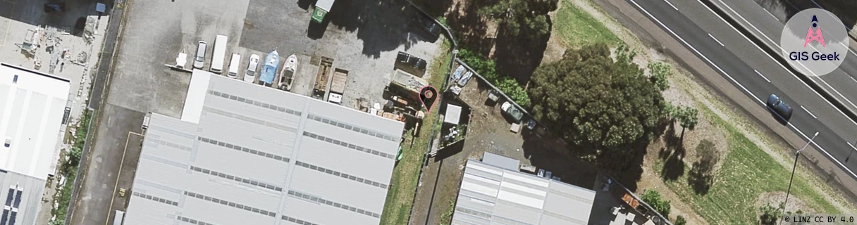
Location Overview
The Spark Mangere East location is 20m high, has 6 licences associated, and is capable* of 3G UMTS, 4G LTE and 5G.
GIS Geek | LINZ | GMaps | Street View
Login required to upload photos or suggest corrections.
Closest Towers
| Provider | Location Name | Distance | Bearing |
|---|---|---|---|
| Spark | Buckland Road ~V7Et~ | 1.15km | 63.67 |
| OneNZ | Papatoetoe West ONZ A8PTW | 66m | 119 |
| 2Degrees | Tidal Road | 132m | 136.25 |
| RCG | RAKMNB - Manawa Bay | 2.8km | 218.03 |
Licence Details
Close Cell IDs Spark MMC: 530 MNC: 5
| Radio | Area | Cell | Distance from tower | Bearing from tower | Samples |
|---|---|---|---|---|---|
| UMTS | 18394 | 1016624 | 303m | 311.48 | 2 |
| LTE | 18131 | 158245254 | 331m | 327.8 | 86 |
| UMTS | 18398 | 884379 | 322m | 118.86 | 3 |
| UMTS | 18398 | 1202061 | 355m | 310.01 | 6 |
| UMTS | 13305 | 3006086 | 358m | 91.47 | 11 |
| UMTS | 18394 | 1202067 | 458m | 308.27 | 7 |
| LTE | 18131 | 471173 | 477m | 308.13 | 121 |
| UMTS | 18398 | 1202062 | 467m | 120.96 | 22 |
| LTE | 18131 | 12849695 | 509m | 313.97 | 28 |
| LTE | 18131 | 158245244 | 485m | 300.83 | 78 |
| LTE | 18131 | 557177 | 539m | 51.7 | 2 |
| UMTS | 13305 | 884382 | 524m | 111.73 | 1 |