Location Overview
The Spark Bowentown location is 14m high, has 7 licences associated, and is capable* of 3G UMTS, 4G LTE and 5G.
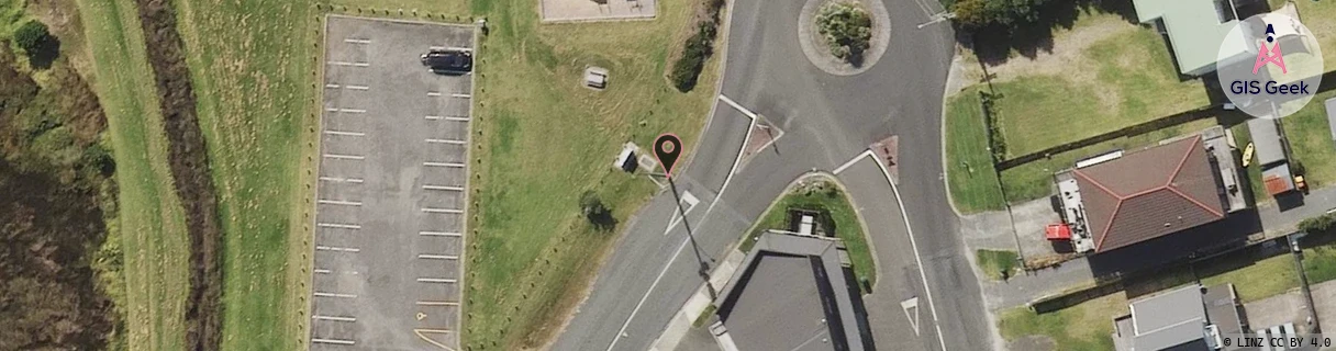
Location has been manually adjusted based on user feedback.
GIS Geek | LINZ | GMaps | Street View
Login required to upload photos or suggest corrections.
Closest Towers
| Provider | Location Name | Distance | Bearing |
|---|---|---|---|
| Spark | Athenree | 2.8km | 274.01 |
| OneNZ | Bowentown VF C5BON | 566m | 151.07 |
| 2Degrees | Athenree | 2.8km | 273.96 |
| RCG | RWKWWT - Waitawheta Track | 15.1km | 277.1 |
Licence Details
Close Cell IDs Spark MMC: 530 MNC: 5
| Radio | Area | Cell | Distance from tower | Bearing from tower | Samples |
|---|---|---|---|---|---|
| LTE | 4101 | 529525 | 325m | 341.48 | 12 |
| LTE | 4101 | 529535 | 484m | 144.91 | 14 |
| LTE | 4101 | 529536 | 510m | 144.03 | 20 |
| UMTS | 48398 | 3167716 | 610m | 303.53 | 33 |
| UMTS | 48398 | 3174443 | 713m | 24.85 | 10 |
| UMTS | 48398 | 3167710 | 757m | 152.88 | 10 |
| UMTS | 41102 | 2721680 | 883m | 137.97 | 3 |
| UMTS | 41102 | 2721830 | 883m | 137.97 | 1 |
| UMTS | 48398 | 3170585 | 794m | 285.81 | 36 |
| UMTS | 65534 | 296559 | 887m | 134.42 | 1 |
| LTE | 4101 | 403321 | 788m | 267.08 | 5 |
| UMTS | 65534 | 403321 | 894m | 135.25 | 4 |
| LTE | 4101 | 529529 | 920m | 136.58 | 59 |
| UMTS | 65534 | 296563 | 1.05km | 130.46 | 3 |