Location Overview
The Spark Te Atatu North location is 17m high, has 8 licences associated, and is capable* of 3G UMTS, 4G LTE and 5G.
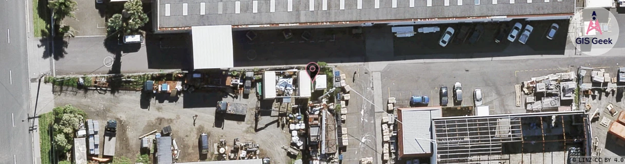
GIS Geek | LINZ | GMaps | Street View
Login required to upload photos or suggest corrections.
Closest Towers
| Provider | Location Name | Distance | Bearing |
|---|---|---|---|
| Spark | Granville Drive | 1.39km | 266.5 |
| OneNZ | Te Atatu Nth Peninsula | 100m | 210.84 |
| 2Degrees | Te Atatu North | 58m | 176.92 |
| RCG | RAKSMR - Summit Road | 12.53km | 260.24 |
Licence Details
Close Cell IDs Spark MMC: 530 MNC: 5
| Radio | Area | Cell | Distance from tower | Bearing from tower | Samples |
|---|---|---|---|---|---|
| UMTS | 18394 | 1020291 | 560m | 107.37 | 1 |
| UMTS | 15301 | 1017002 | 1.03km | 175.22 | 35 |
| LTE | 18151 | 447107 | 1.12km | 168.25 | 2 |
| UMTS | 18397 | 1017001 | 1km | 125.53 | 1 |
| LTE | 1501 | 13079584 | 1.23km | 164.99 | 4 |
| LTE | 18151 | 529029 | 1.23km | 159.5 | 1 |
| UMTS | 18394 | 1017001 | 1.08km | 113.38 | 3 |
| UMTS | 18397 | 1015843 | 1.19km | 127.03 | 1 |
| UMTS | 15301 | 816616 | 1.16km | 286.53 | 1 |
| UMTS | 18394 | 1017002 | 1.45km | 180.38 | 7 |
| UMTS | 15301 | 1017003 | 1.3km | 297.55 | 1 |
| UMTS | 18397 | 1016993 | 1.3km | 115.59 | 1 |
| UMTS | 18394 | 1016993 | 1.56km | 162.24 | 14 |
| UMTS | 18394 | 752259 | 1.34km | 108.39 | 1 |
| UMTS | 18394 | 1203601 | 1.63km | 162 | 1 |
| LTE | 18151 | 13079584 | 1.66km | 182.94 | 6 |