Location Overview
The 2Degrees Te Atatu North location is 19m high, has 6 licences associated, and is capable* of 3G UMTS, 4G LTE and 5G.
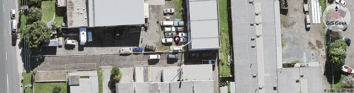
Location Raw Name: (AKL-006-008-C)[TEAT]_TE ATATU NORTH
GIS Geek | LINZ | GMaps | Street View
Login required to upload photos or suggest corrections.
Closest Towers
| Provider | Location Name | Distance | Bearing |
|---|---|---|---|
| Spark | Te Atatu North | 58m | 356.92 |
| OneNZ | Te Atatu Nth Peninsula | 61m | 242.75 |
| 2Degrees | Harbour View | 1.26km | 164.81 |
| RCG | RAKSMR - Summit Road | 12.52km | 260.5 |
Licence Details
Close Cell IDs 2Degrees MMC: 530 MNC: 24
| Radio | Area | Cell | Distance from tower | Bearing from tower | Samples |
|---|---|---|---|---|---|
| LTE | 61004 | 1584901 | 540m | 356.84 | 1 |
| UMTS | 10004 | 81883 | 522m | 103.51 | 4 |
| UMTS | 10003 | 81884 | 591m | 134.04 | 5 |
| UMTS | 10004 | 71189 | 701m | 13.47 | 2 |
| LTE | 61004 | 2988292 | 728m | 211.31 | 1 |
| UMTS | 10004 | 81884 | 767m | 190.44 | 1 |
| UMTS | 10004 | 1585154 | 745m | 209.29 | 5 |
| UMTS | 10004 | 1580548 | 801m | 157.31 | 2 |
| UMTS | 10002 | 81194 | 695m | 68.33 | 1 |
| UMTS | 10002 | 71189 | 695m | 68.33 | 1 |
| UMTS | 10004 | 81194 | 774m | 59.29 | 1 |
| LTE | 61004 | 1584902 | 826m | 291.43 | 6 |