Location Overview
The 2Degrees Hinds location is 30m high, has 5 licences associated, and is capable* of 3G UMTS and 4G LTE.
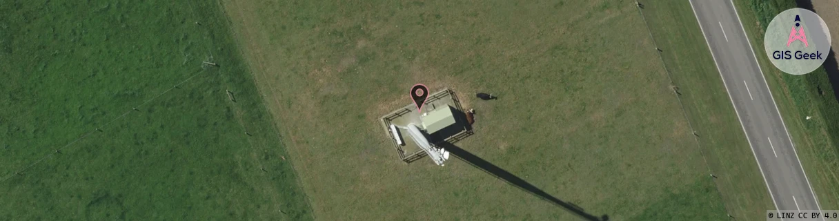
Location Raw Name: (CAN-063-005-A)[HIND]_HINDS
GIS Geek | LINZ | GMaps | Street View
Login required to upload photos or suggest corrections.
Closest Towers
| Provider | Location Name | Distance | Bearing |
|---|---|---|---|
| Spark | Hinds | 34m | 315.98 |
| OneNZ | Hinds Vodafone | 2m | 75.07 |
| 2Degrees | Ealing | 13.54km | 248.85 |
| RCG | RCTHNT - Huntingdon | 12.97km | 101.64 |
Licence Details
Close Cell IDs 2Degrees MMC: 530 MNC: 24
| Radio | Area | Cell | Distance from tower | Bearing from tower | Samples |
|---|---|---|---|---|---|
| UMTS | 62216 | 1798147 | 452m | 313.12 | 2 |
| LTE | 62216 | 1729030 | 452m | 313.12 | 1 |
| LTE | 62216 | 1806617 | 491m | 299.95 | 19 |
| UMTS | 22216 | 977459 | 663m | 4.9 | 16 |
| LTE | 62216 | 1806613 | 1.03km | 30.35 | 19 |
| UMTS | 22216 | 453171 | 979m | 312.32 | 141 |
| LTE | 62216 | 1806615 | 1.11km | 260.57 | 16 |
| GSM | 216 | 39955 | 2.07km | 20.84 | 179 |
| LTE | 62216 | 1806594 | 2.26km | 49 | 21 |
| UMTS | 22216 | 977457 | 3.29km | 256.49 | 100 |