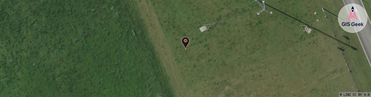
Location Overview
The Spark Hinds location is 36m high, has 3 licences associated, and is capable* of 3G UMTS and 4G LTE.
GIS Geek | LINZ | GMaps | Street View
Login required to upload photos or suggest corrections.
Closest Towers
| Provider | Location Name | Distance | Bearing |
|---|---|---|---|
| Spark | Rangitata | 13.78km | 250.84 |
| OneNZ | Hinds Vodafone | 35m | 133.44 |
| 2Degrees | Hinds | 34m | 135.99 |
| RCG | RCTHNT - Huntingdon | 13km | 101.72 |
Licence Details
Close Cell IDs Spark MMC: 530 MNC: 5
| Radio | Area | Cell | Distance from tower | Bearing from tower | Samples |
|---|---|---|---|---|---|
| UMTS | 28394 | 1876133 | 579m | 358.14 | 1 |
| UMTS | 28394 | 1875999 | 1.09km | 41.64 | 3 |
| UMTS | 28394 | 1623985 | 1.66km | 45.27 | 1 |
| UMTS | 24402 | 1623985 | 2.61km | 225.11 | 5 |
| LTE | 28221 | 381807 | 3.08km | 53.28 | 7 |
| UMTS | 28394 | 1623990 | 2.92km | 256.12 | 1 |