Location Overview
The 2Degrees Waitara location is 27m high, has 6 licences associated, and is capable* of 3G UMTS, 4G LTE and 5G.
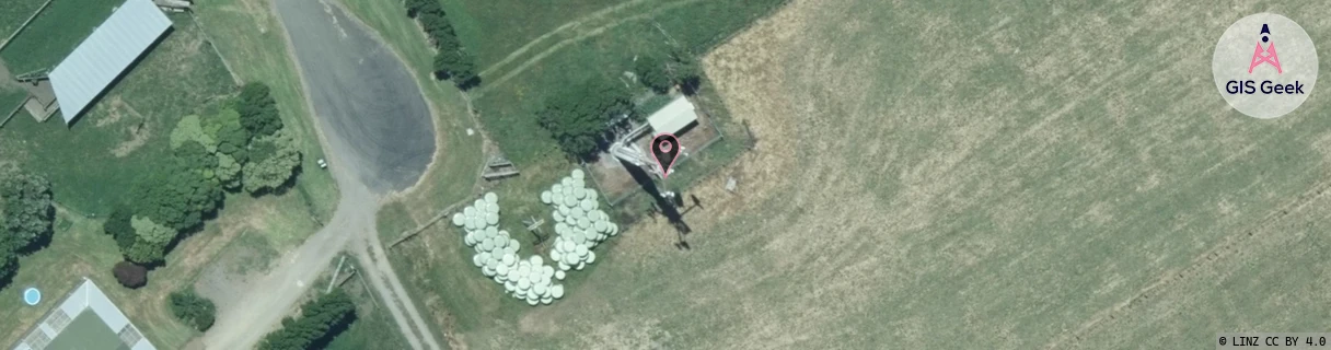
Location Raw Name: (TNK-033-016-A)[WATA]_WAITARA
GIS Geek | LINZ | GMaps | Street View
Login required to upload photos or suggest corrections.
Closest Towers
| Provider | Location Name | Distance | Bearing |
|---|---|---|---|
| Spark | Waitara Town | 1.28km | 56.63 |
| OneNZ | Waitara | 0m | 0 |
| 2Degrees | S_New Plymouth Airport | 3.87km | 266.16 |
| RCG | RTRHUI - Huirangi | 5.68km | 160.89 |
Licence Details
Close Cell IDs 2Degrees MMC: 530 MNC: 24
| Radio | Area | Cell | Distance from tower | Bearing from tower | Samples |
|---|---|---|---|---|---|
| UMTS | 22212 | 375977 | 1.08km | 46.9 | 3 |
| LTE | 62212 | 1703938 | 1.17km | 53.4 | 23 |
| LTE | 62212 | 1703942 | 1.46km | 253.44 | 5 |
| LTE | 62212 | 1703941 | 1.64km | 240.39 | 38 |
| UMTS | 22212 | 355977 | 1.73km | 60.78 | 45 |
| LTE | 62212 | 1703940 | 1.67km | 82.55 | 69 |
| LTE | 62212 | 1703937 | 1.79km | 62.14 | 48 |
| UMTS | 22212 | 375971 | 1.86km | 64.09 | 13 |
| UMTS | 22212 | 355978 | 2.09km | 78.45 | 146 |
| GSM | 14 | 16561 | 2.6km | 48.58 | 1 |
| UMTS | 22212 | 355979 | 2.86km | 233.67 | 206 |
| UMTS | 22212 | 375978 | 2.66km | 77.46 | 2 |