Location Overview
The 2Degrees S_New Plymouth Airport location is 20m high, has 2 licences associated, and is capable* of 3G UMTS and 4G LTE.
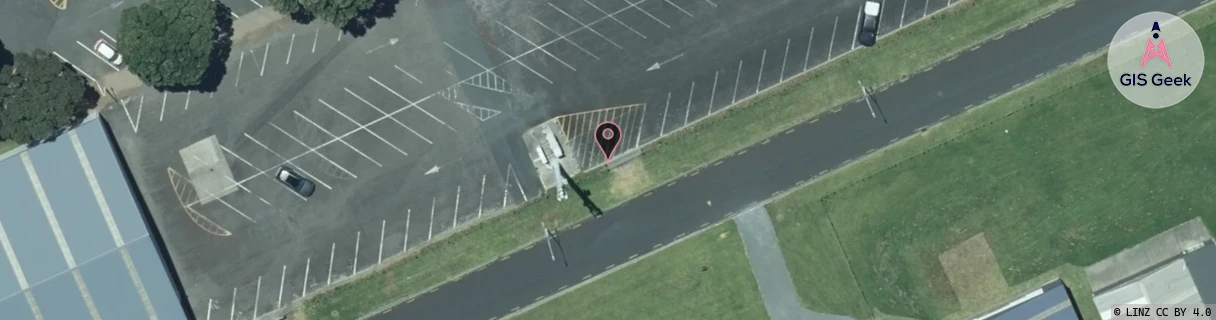
Location Raw Name: (TNK-033-035-A)[VNPA]_S_NEW PLYMOUTH AIRPORT
GIS Geek | LINZ | GMaps | Street View
Login required to upload photos or suggest corrections.
Closest Towers
| Provider | Location Name | Distance | Bearing |
|---|---|---|---|
| Spark | New Plymouth Airport | 1m | 181.18 |
| OneNZ | New Plymouth Airport | 1m | 181.18 |
| 2Degrees | Waitara | 3.87km | 86.19 |
| RCG | RTRHUI - Huirangi | 7.68km | 131.77 |
Licence Details
Close Cell IDs 2Degrees MMC: 530 MNC: 24
| Radio | Area | Cell | Distance from tower | Bearing from tower | Samples |
|---|---|---|---|---|---|
| UMTS | 22212 | 26400718 | 1.48km | 144.9 | 1 |
| UMTS | 22212 | 355979 | 2.47km | 126.73 | 206 |
| UMTS | 22212 | 375975 | 2.75km | 139.39 | 124 |
| UMTS | 22212 | 375979 | 3.13km | 180.03 | 2 |