Location Overview
The 2Degrees Napier Airport location is 24m high, has 3 licences associated, and is capable* of 3G UMTS and 4G LTE.
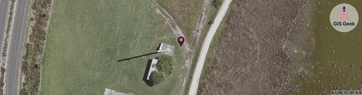
Location Raw Name: (HKB-031-018-A)[NAPA]_NAPIER AIRPORT
GIS Geek | LINZ | GMaps | Street View
Login required to upload photos or suggest corrections.
Closest Towers
| Provider | Location Name | Distance | Bearing |
|---|---|---|---|
| Spark | Ahuriri | 2.04km | 131.43 |
| OneNZ | Napier North Relocate | 57m | 206.41 |
| 2Degrees | Pandora | 2.33km | 152.37 |
| RCG | RHBSFR - Seafield Rd | 7.5km | 287.94 |
Licence Details
Close Cell IDs 2Degrees MMC: 530 MNC: 24
| Radio | Area | Cell | Distance from tower | Bearing from tower | Samples |
|---|---|---|---|---|---|
| UMTS | 22210 | 967225 | 828m | 3.96 | 1 |
| LTE | 62211 | 1644804 | 897m | 115.68 | 2 |
| LTE | 62211 | 1644546 | 1.34km | 32.07 | 2 |
| UMTS | 22210 | 357409 | 1.4km | 165.51 | 12 |
| UMTS | 22211 | 377401 | 1.51km | 356.82 | 1 |
| UMTS | 22210 | 947231 | 1.67km | 351.69 | 1 |