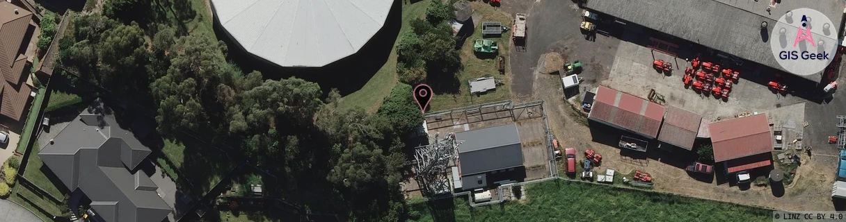
Location Overview
The Spark Newcastle Road location is 25m high, has 7 licences associated, and is capable* of 3G UMTS, 4G LTE and 5G.
GIS Geek | LINZ | GMaps | Street View
Login required to upload photos or suggest corrections.
Closest Towers
| Provider | Location Name | Distance | Bearing |
|---|---|---|---|
| Spark | Dinsdale | 1.23km | 96.05 |
| OneNZ | Dinsdale ONZ C3DIN | 9m | 184.85 |
| 2Degrees | Western Heights | 10m | 167.24 |
| RCG | RWKTPV - Temple View | 2.54km | 193.91 |
Licence Details
Close Cell IDs Spark MMC: 530 MNC: 5
| Radio | Area | Cell | Distance from tower | Bearing from tower | Samples |
|---|---|---|---|---|---|
| LTE | 4301 | 298095 | 273m | 225.09 | 11 |
| UMTS | 43101 | 2852982 | 325m | 124.01 | 6 |
| LTE | 4301 | 287244 | 656m | 147.81 | 12 |
| LTE | 4301 | 76843911 | 682m | 77.07 | 3 |
| UMTS | 0 | 3170661 | 859m | 27.78 | 2 |
| UMTS | 48397 | 3170163 | 739m | 103.59 | 30 |
| LTE | 42624 | 475413 | 839m | 53.89 | 2 |
| LTE | 42624 | 708353 | 843m | 54.37 | 3 |
| UMTS | 48397 | 3170160 | 786m | 105.19 | 18 |
| LTE | 4301 | 76843891 | 788m | 82.86 | 17 |
| UMTS | 43101 | 2852981 | 1.01km | 0.38 | 2 |
| UMTS | 43101 | 2852984 | 1.01km | 0.38 | 7 |
| LTE | 4301 | 287347 | 843m | 94.76 | 1 |
| LTE | 4301 | 287367 | 843m | 94.76 | 1 |