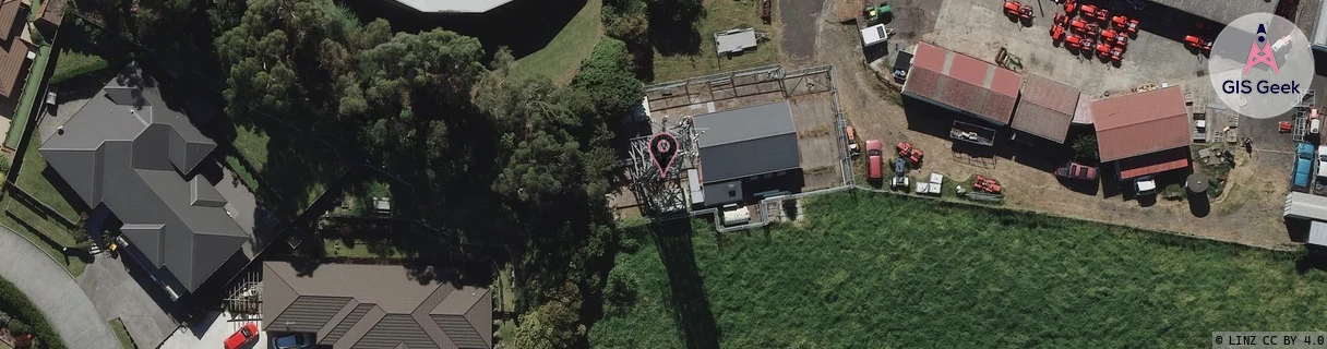
Location Overview
The 2Degrees Western Heights location is 25m high, has 3 licences associated, and is capable* of 3G UMTS and 4G LTE.
Location Raw Name: (WKT-016-027-A)[WNHS]_WESTERN HEIGHTS
GIS Geek | LINZ | GMaps | Street View
Login required to upload photos or suggest corrections.
Closest Towers
| Provider | Location Name | Distance | Bearing |
|---|---|---|---|
| Spark | Newcastle Road | 10m | 347.24 |
| OneNZ | Dinsdale ONZ C3DIN | 3m | 287.15 |
| 2Degrees | Dinsdale | 1.4km | 91.71 |
| RCG | RWKTPV - Temple View | 2.53km | 194.01 |
Licence Details
Close Cell IDs 2Degrees MMC: 530 MNC: 24
| Radio | Area | Cell | Distance from tower | Bearing from tower | Samples |
|---|---|---|---|---|---|
| UMTS | 22206 | 281903 | 122m | 59.37 | 3 |
| LTE | 62206 | 1758980 | 257m | 149.98 | 28 |
| LTE | 62206 | 2688776 | 416m | 118.24 | 4 |
| UMTS | 22206 | 271897 | 459m | 106.49 | 19 |
| LTE | 62206 | 1735173 | 526m | 119.16 | 1 |
| LTE | 62206 | 1758977 | 579m | 49.93 | 22 |