Location Overview
The 2Degrees Dinsdale location is 14m high, has 6 licences associated, and is capable* of 3G UMTS, 4G LTE and 5G.
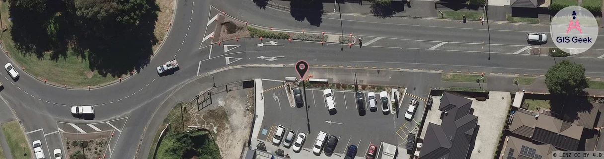
Location Raw Name: (WKT-016-002-E)[DNDL]_DINSDALE
GIS Geek | LINZ | GMaps | Street View
Login required to upload photos or suggest corrections.
Closest Towers
| Provider | Location Name | Distance | Bearing |
|---|---|---|---|
| Spark | Dinsdale | 194m | 246.46 |
| OneNZ | Dinsdale Central | 50m | 231.67 |
| 2Degrees | Western Heights | 1.4km | 271.7 |
| RCG | RWKTPV - Temple View | 3.14km | 219.73 |
Licence Details
Close Cell IDs 2Degrees MMC: 530 MNC: 24
| Radio | Area | Cell | Distance from tower | Bearing from tower | Samples |
|---|---|---|---|---|---|
| LTE | 62206 | 1735170 | 139m | 87.53 | 1 |
| UMTS | 22206 | 272129 | 189m | 293.48 | 17 |
| UMTS | 22206 | 282133 | 198m | 265.83 | 4 |
| LTE | 62206 | 2688777 | 284m | 332.76 | 33 |
| UMTS | 22206 | 1600260 | 334m | 154.04 | 2 |
| LTE | 62206 | 2688774 | 470m | 347.55 | 47 |
| UMTS | 22206 | 272127 | 474m | 164.78 | 9 |
| LTE | 62206 | 2688775 | 400m | 82.74 | 33 |
| LTE | 62206 | 2689047 | 497m | 198.17 | 16 |
| LTE | 62206 | 2689029 | 421m | 292.76 | 27 |
| UMTS | 22206 | 282132 | 498m | 206.33 | 1 |
| LTE | 62206 | 2688770 | 452m | 75.4 | 33 |