Location Overview
The Spark Dinsdale location is 26m high, has 7 licences associated, and is capable* of 3G UMTS, 4G LTE and 5G.
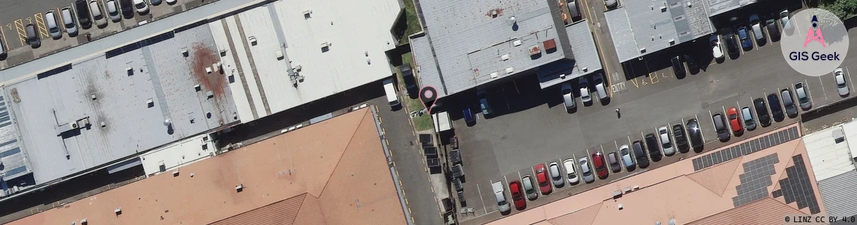
GIS Geek | LINZ | GMaps | Street View
Login required to upload photos or suggest corrections.
Closest Towers
| Provider | Location Name | Distance | Bearing |
|---|---|---|---|
| Spark | Newcastle Road | 1.23km | 276.04 |
| OneNZ | Dinsdale Central | 146m | 71.46 |
| 2Degrees | Dinsdale | 194m | 66.46 |
| RCG | RWKTPV - Temple View | 2.97km | 218.05 |
Licence Details
Close Cell IDs Spark MMC: 530 MNC: 5
| Radio | Area | Cell | Distance from tower | Bearing from tower | Samples |
|---|---|---|---|---|---|
| LTE | 4301 | 76817787 | 51m | 230.37 | 3 |
| LTE | 4301 | 76817789 | 55m | 144.96 | 1 |
| LTE | 4301 | 76817785 | 95m | 251.71 | 6 |
| LTE | 4301 | 76817775 | 184m | 56.25 | 9 |
| LTE | 4301 | 76817797 | 264m | 311.53 | 18 |
| LTE | 4301 | 76817799 | 290m | 309.13 | 6 |
| LTE | 4301 | 76817779 | 346m | 78.55 | 26 |
| LTE | 4301 | 76843889 | 385m | 298.7 | 4 |
| UMTS | 48397 | 3170164 | 427m | 324.84 | 45 |
| LTE | 4301 | 287345 | 376m | 104.14 | 7 |
| LTE | 4301 | 287347 | 382m | 274.9 | 1 |
| LTE | 4301 | 287367 | 382m | 274.9 | 1 |
| UMTS | 48397 | 3170161 | 489m | 350.92 | 36 |
| UMTS | 48397 | 3170159 | 468m | 73.75 | 13 |