Location Overview
The Spark Whatawhata location is 19m high, has 5 licences associated, and is capable* of 3G UMTS and 4G LTE.
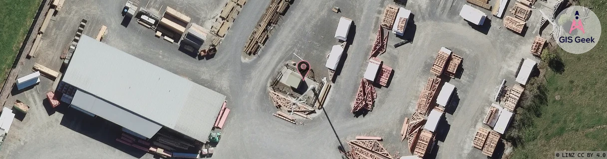
GIS Geek | LINZ | GMaps | Street View
Login required to upload photos or suggest corrections.
Closest Towers
| Provider | Location Name | Distance | Bearing |
|---|---|---|---|
| Spark | Whatawhata West | 4.78km | 215.61 |
| OneNZ | Whatawhata ONZ C1WWA | 947m | 54.26 |
| 2Degrees | Whatawhata | 951m | 53.74 |
| RCG | RWKTPV - Temple View | 6.36km | 114.45 |
Licence Details
Close Cell IDs Spark MMC: 530 MNC: 5
| Radio | Area | Cell | Distance from tower | Bearing from tower | Samples |
|---|---|---|---|---|---|
| LTE | 4301 | 352367 | 540m | 290.95 | 1 |
| LTE | 4301 | 310137 | 604m | 241.99 | 37 |
| UMTS | 48397 | 3172373 | 659m | 223.36 | 4 |
| LTE | 4301 | 310147 | 1.01km | 348.75 | 59 |
| UMTS | 48397 | 3170663 | 1.16km | 160.44 | 8 |
| UMTS | 48397 | 3172374 | 1.4km | 342.5 | 5 |
| UMTS | 48397 | 3172369 | 1.47km | 194.91 | 2 |
| LTE | 4301 | 310127 | 1.53km | 187.86 | 36 |
| UMTS | 48397 | 3172371 | 1.64km | 345.42 | 46 |
| UMTS | 48397 | 3172379 | 1.62km | 326.97 | 28 |