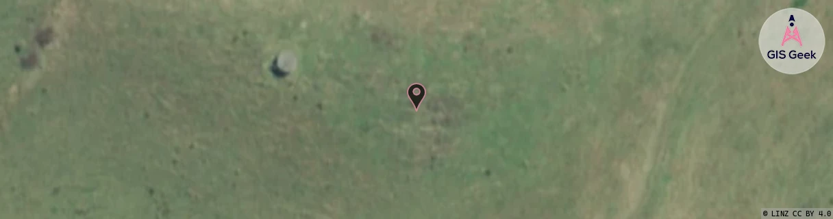
Location Overview
The Spark Whatawhata West location is 25m high, has 4 licences associated, and is capable* of 3G UMTS and 4G LTE.
GIS Geek | LINZ | GMaps | Street View
Login required to upload photos or suggest corrections.
Closest Towers
| Provider | Location Name | Distance | Bearing |
|---|---|---|---|
| Spark | Whatawhata | 4.78km | 35.63 |
| OneNZ | Whatawhata West | 97m | 281.78 |
| 2Degrees | Whatawhata West Rbi | 95m | 282.64 |
| RCG | RWKTPV - Temple View | 8.66km | 81.7 |
Licence Details
Close Cell IDs Spark MMC: 530 MNC: 5
| Radio | Area | Cell | Distance from tower | Bearing from tower | Samples |
|---|---|---|---|---|---|
| UMTS | 48397 | 3172370 | 3.01km | 16.91 | 6 |
| LTE | 4301 | 286321 | 2.96km | 35.34 | 1 |
| UMTS | 4301 | 310137 | 3.27km | 26.14 | 2 |
| LTE | 4301 | 286319 | 3.04km | 60.23 | 78 |
| UMTS | 48397 | 3172372 | 3.32km | 57.82 | 2 |
| UMTS | 43101 | 2852983 | 3.44km | 308.72 | 1 |
| UMTS | 48397 | 3172369 | 3.48km | 51.98 | 2 |
| LTE | 4301 | 310127 | 3.53km | 54.38 | 36 |