Location Overview
The 2Degrees Whatawhata West Rbi location is 25m high, has 5 licences associated, and is capable* of 3G UMTS and 4G LTE.
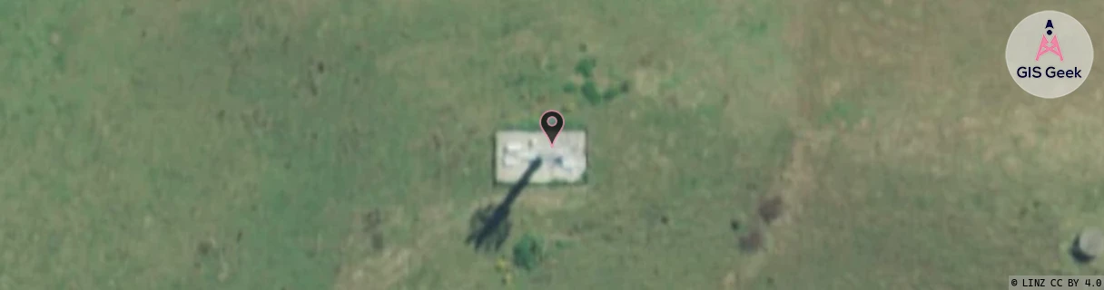
Location Raw Name: (WKT-013-028-A)[VWWW]_WHATAWHATA WEST RBI
GIS Geek | LINZ | GMaps | Street View
Login required to upload photos or suggest corrections.
Closest Towers
| Provider | Location Name | Distance | Bearing |
|---|---|---|---|
| Spark | Whatawhata West | 95m | 102.64 |
| OneNZ | Whatawhata West | 2m | 242.12 |
| 2Degrees | Whatawhata | 5.73km | 39.46 |
| RCG | RWKTPV - Temple View | 8.75km | 81.93 |
Licence Details
Close Cell IDs 2Degrees MMC: 530 MNC: 24
| Radio | Area | Cell | Distance from tower | Bearing from tower | Samples |
|---|---|---|---|---|---|
| UMTS | 65535 | 1756163 | 2.48km | 8.84 | 1 |
| UMTS | 22206 | 1756163 | 2.49km | 7.17 | 1 |
| GSM | 206 | 18943 | 2.6km | 334.07 | 2 |
| UMTS | 22206 | 1756164 | 2.89km | 31.76 | 1 |
| UMTS | 65535 | 1756164 | 2.89km | 31.76 | 1 |
| GSM | 234 | 34442 | 3.05km | 7.93 | 3 |
| GSM | 234 | 5932 | 3.12km | 24.93 | 6 |
| GSM | 234 | 6023 | 3.22km | 309.02 | 5 |
| LTE | 62206 | 2972951 | 3.13km | 65.72 | 6 |
| UMTS | 22206 | 270705 | 3.27km | 67.22 | 9 |